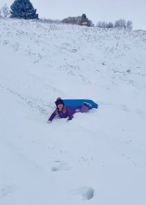


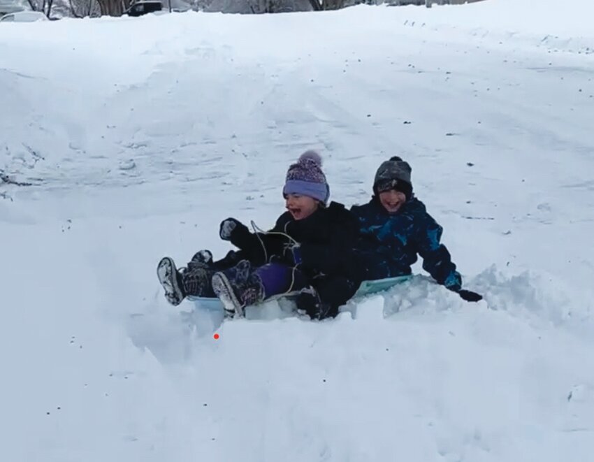
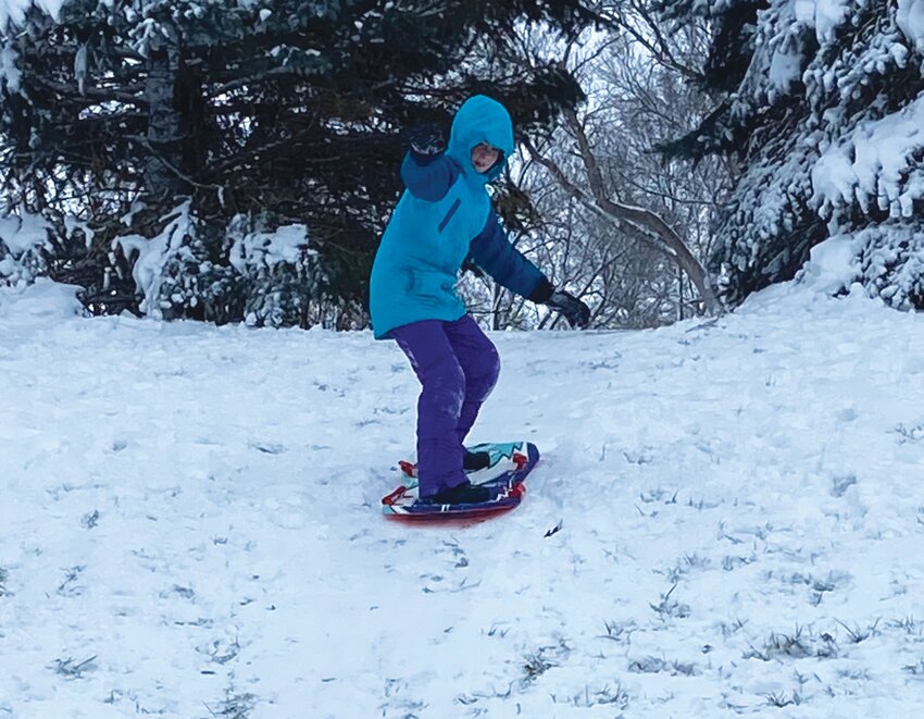


From Jan. 7-13, two winter storms brought significant impacts to eastern Nebraska and western Iowa. The first storm started to move in late Sunday night (Jan. 7) into early Monday morning, first as a wintry mix of freezing rain, sleet and snow, but eventually transitioned to heavy, wet snow. The precipitation rates were high enough that snow quickly started to stick despite temperatures hovering at or just above freezing in many locations. The exceptions were along the I-80 corridor from Lincoln to Omaha where most snow melted on contact through the daytime hours. However, once the sun went down, snow quickly started accumulating in those areas, as well. Totals ended up ranging from around 4-5 inches in parts of east-central Nebraska and southwest Iowa to near or even above 12" in northeast Nebraska and far southeast Nebraska.
The next winter storm started Thursday morning, Jan. 11. With colder air working in, the snow with this storm was much more light and fluffy, and when combined with strong winds, made for very poor visibility with lots of blowing and drifting snow. This also led to difficulties measuring the snowfall. Still, we had many reports across the area of around 8 -11 inches, with a few pockets of slightly higher amounts. On the lower end, we saw around 3-5 inches in far southeast Nebraska and southwest Iowa, but there were some locally of higher amounts in those areas, as well. This storm proved to be very impactful due to the blowing and drifting snow and many roads remained closed well after the snow ended. A state of emergency was declared in Nebraska Saturday afternoon around at around 2 p.m. by Gov. Pillen. Over 1,200 people were rescued from vehicles trapped in the snow during the week. In addition, extremely cold air moved in on the tail end of the storm, as wind chills plunged into the 30-50 below-zero range.